
Latest Articles
Featured Research
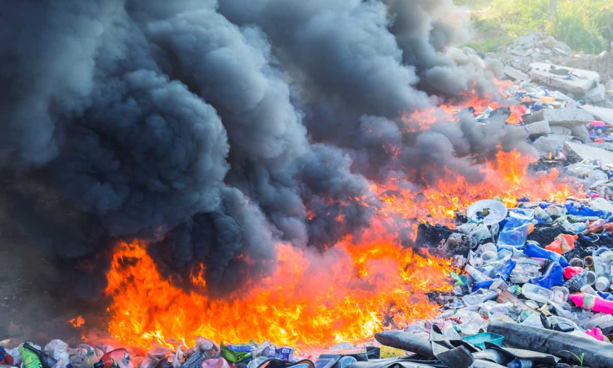
GHG Emissions from Open Waste Burning
Quantifying greenhouse gas emissions and developing mitigation strategies for open waste burning in urban areas.
View Research
Multi-Hazard Risk Assessment Framework
Developing an integrated approach to assess compound and cascading disaster risks in mountainous regions.
View ResearchBrowse by Category
Disaster Risk
8 Articles
Water Resources
5 Articles
Climate Change
6 Articles
GIS & Remote Sensing
4 Articles